Specialised solutions for the infrastructure industry
access current and forecast analysis and strengthen your decision making with accurate insights
Infrastructure industry specific Business Review & Due Diligence - Smart data visualisation and decisive assessment tools
- High resolution imaging
- Building recognition
- Land classification
- Slope mapping
- Height model & contour lines
- Flood risk
- Road & railway mapping
- Powerline & pole mapping
- Digitising infrastructure
- 3D modelling


Collecting, modelling & delivering accurate data analytics for the infrastructure industry
All included data managementBased on gathering and analysing proprietary and/or additional datasets – drone, plane, satellite, manual and scientific data.
Solid knowledge management
Based on scientific validated knowledge to interpret data and provide advice for decision-making activities.
Powerful model management
Based on high processing speed and accuracy allowing for affordability and scale – through Artificial Intelligence, Deep Learning and Machine Learning High data processing power.
User-friendly Interface management
Fully operational, comprehensive and easy to navigate online platform built to handle heavy user traffic.
Monitoring
Continuous monitoring of energy projects in development, including scheduled and/or on-demand inspections to be precisely informed and act on time.
Continuous monitoring of energy projects in development, including scheduled and/or on-demand inspections to be precisely informed and act on time.
Road/railway mapping & Transportation
Infrastructure topographic and space analysis, route calculation complexities, least cost path analysis for smart transportation eg. wind turbines optimal route planning.
Infrastructure topographic and space analysis, route calculation complexities, least cost path analysis for smart transportation eg. wind turbines optimal route planning.
Energy Infrastructure
Decisive smart-tools eg. powerline/pole mapping, gas network leaks detection, wind turbine placement optimisation, hydropower topographic review, land cover classification & solar power potential.
Decisive smart-tools eg. powerline/pole mapping, gas network leaks detection, wind turbine placement optimisation, hydropower topographic review, land cover classification & solar power potential.
Land & Habitat classification
Assessing land use and understanding the impact of land use decisions. Evaluating smart-growth alternatives when dealing with environmentally sensitive matters.
Assessing land use and understanding the impact of land use decisions. Evaluating smart-growth alternatives when dealing with environmentally sensitive matters.
Topography
Geospatial digital modelling and assessment for analysis of continuous and discrete phenomena – elevation, surface, contour lines, site-specific critical flood risk areas visualisation.
Geospatial digital modelling and assessment for analysis of continuous and discrete phenomena – elevation, surface, contour lines, site-specific critical flood risk areas visualisation.
Map titling
Cadastral and plot mapping provides the foundation for cartographic land records, assessments, the valuation & taxation of land.
Cadastral and plot mapping provides the foundation for cartographic land records, assessments, the valuation & taxation of land.
Building recognition
Identify building in the relevant areas for optimal infrastructure development.
Identify building in the relevant areas for optimal infrastructure development.
Sustainability analysis
Get insights into deforestation analysis with change over time, identify the effects of climate change eg. drought or flood risk, assess environmental compliance and monitor impact on biodiversity.
Get insights into deforestation analysis with change over time, identify the effects of climate change eg. drought or flood risk, assess environmental compliance and monitor impact on biodiversity.
Encroachment & Biodiversity
Detect, track and monitor environmental conditions such as vegetation and/or population encroachment on infrastructure, observe and assess biodiversity on specific territories eg. wetlands, natural forests, conservation areas.
Detect, track and monitor environmental conditions such as vegetation and/or population encroachment on infrastructure, observe and assess biodiversity on specific territories eg. wetlands, natural forests, conservation areas.
User-friendly reporting - Accessing valuable and accurate infrastructure insights
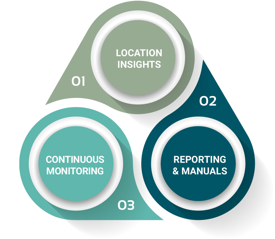
Location Insights- Keep real-time track of what happens on the grounds.
- Know exactly where assets are and make smart data-based decisions.
- Gain understanding of each location condition, potential and life cycle.
- Secure instant objective information through remote site monitoring.
Continuous Monitoring for real-time Compliance
Reporting and manuals


